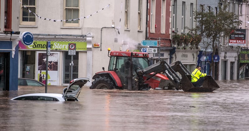
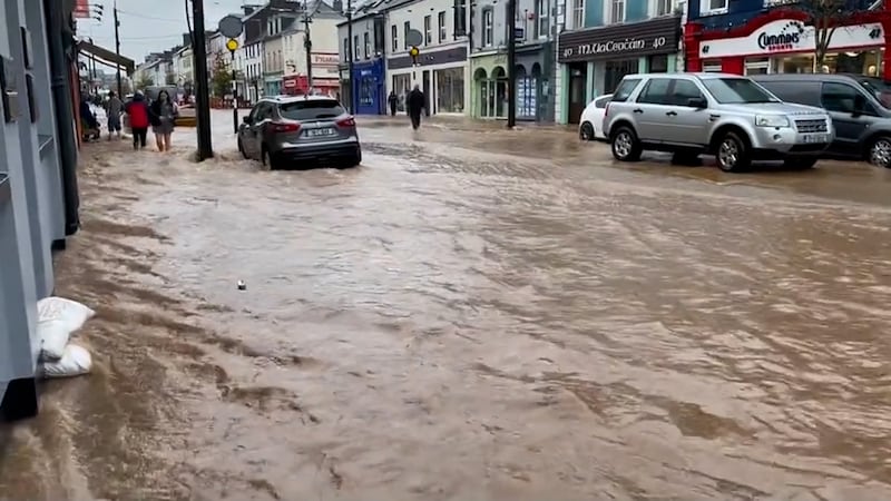
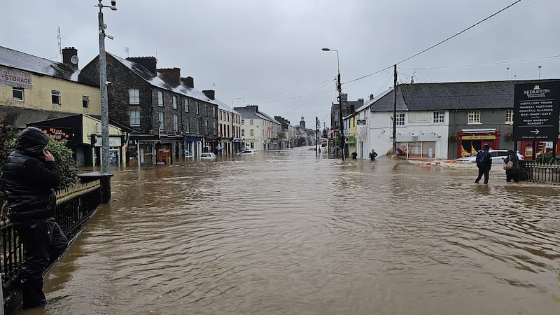
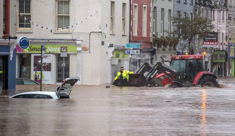
This week’s flooding in east Cork and west Waterford was due to weather systems associated with Storm Babet. It was not our typical storm, with wind and rain that quickly moves through. This was a slow-moving rainstorm.
We saw a warm weather front ahead of Babet on Tuesday that brought heavy rain to the south and southwest with more than 55mm in parts of Cork. There was some brief respite on Tuesday night before the next weather front associated with Babet moved in early Wednesday morning and this produced a slow-moving train of rain that hit Ireland with intense rainfall in the south.
The weather models had forecast the heaviest rain to fall between Cork city and west Waterford and by 11am Wednesday another 50mm of rain had fallen at Youghal with local stations near Cork city reporting 130mm in 24 hours, a typical month’s rainfall. By 1pm Wednesday, I was sent images from Midleton of the river bursting the banks and the town flooding, by 3pm 80mm had been recorded at Youghal since midnight and the dramatic images from many parts of east Cork were emerging and continued into the evening.


While Orange warnings were issued for Cork and Waterford, the level of rainfall in east Cork and west Waterford was in the red zone. The biggest issue was the cumulative effect of the intense rainfall on Wednesday after the heavy rain Tuesday falling on saturated land with water levels in local streams and rivers high. When the intense rain hit Wednesday morning it was also at high tide, meaning rivers were backing up as the water flowed off land.
When Rickey Henderson died on Christmas Day, baseball mourned the passing of one of its most eccentric characters
Michael Harding: An old friend asked if I was ‘still at the writing’. ‘When I can get the ink,’ I said
Mark O'Connell: I bought into the idea that wellness guru Andrew Huberman could fix my life. Then I read about him
I visited Singapore to see why it is ranked as the top education system in the world. Here’s what I learned
The Orange warning for Cork expired on Wednesday at 1pm as the worst of the flooding was hitting. The orange warning for Waterford was extended up to 4pm. The warning system is designed to work on a county-by-county basis and the warnings look at the impact across the county.
Obviously, given the size of Cork, impacts can vary a lot across the county as they did on Wednesday, and even in Waterford they ranged from devastation in west Waterford to a wet day in east Waterford. This clearly shows that the system needs an overhaul to be more precise and take into account existing water levels.
The weather models had forecast the heaviest of the rain Wednesday was to fall in areas such as Midleton, Killeagh, Castlemartyr and Cashmore, etc. showing that a red warning for those areas was required.

Our climate has changed and continues to change. More extreme rainfall events are expected as warmer air holds more moisture, meaning flooding events will happen and will be more extreme. While we all work to cut our carbon emissions we also need to look at how we can adapt to the changing climate.
The National Flood Forecasting and Warning Service is in progress at stage one and we need this live with a national flood warning system made publicly available, so people in areas prone to flooding can be aware and alert for future events. We need to ensure people are more prepared for the next flooding because there is no doubt that we will see more of these rainfall events.
Alan O’Reilly is a weather enthusiast. X: @CarlowWeather Instagram: @carlowweather Facebook: CarlowWeather


